With the mothership now anchored in Melanie Cove, Desolation Sound kept pulling us deeper. This leg of the trip took us up to Pendrell Sound — famous for having the warmest saltwater north of Mexico — then south to Grace Harbour and the inlets Grant Lawrence made legendary in Adventures in Solitude.
Watch the full episode:
Leaving the Mothership Behind
Pendrell Sound was the big one on our list, but we had a problem.
There are only about 10 stern-tie points in there, and showing up with the mothership only to find them all taken wasn’t a gamble we wanted to make.
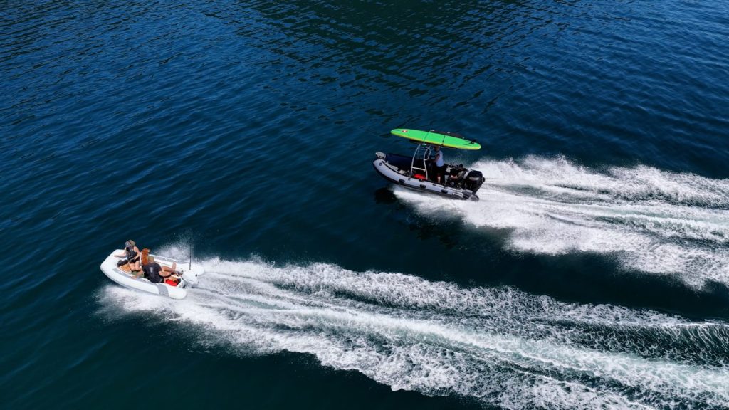
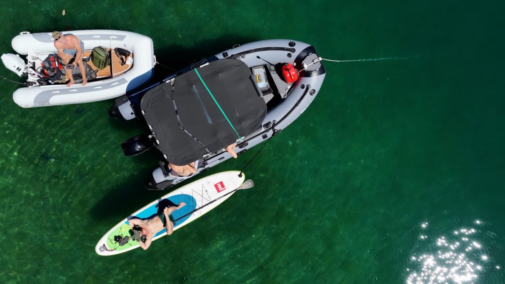
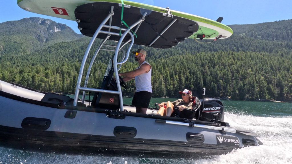
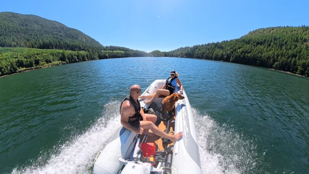
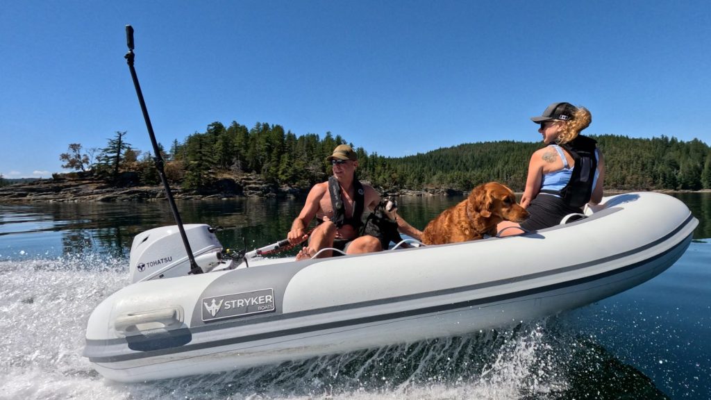
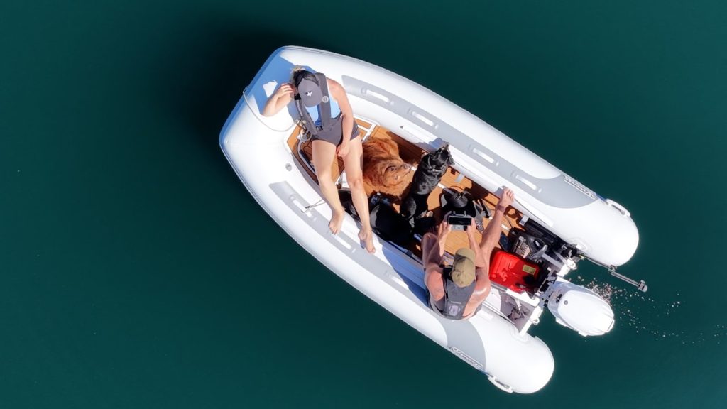
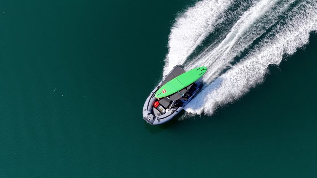
So the mothership stayed put in Melanie Cove and we let the inflatables do what they do best. Cody and Claire ran their Stryker RIB 470, and we took our tender, the Stryker RIB LX 330.
About two hours later, we were idling into Pendrell Sound.
We Had Pendrell to Ourselves
No one. Not a single boat.
In the middle of summer, in one of the most talked-about anchorages on the coast.
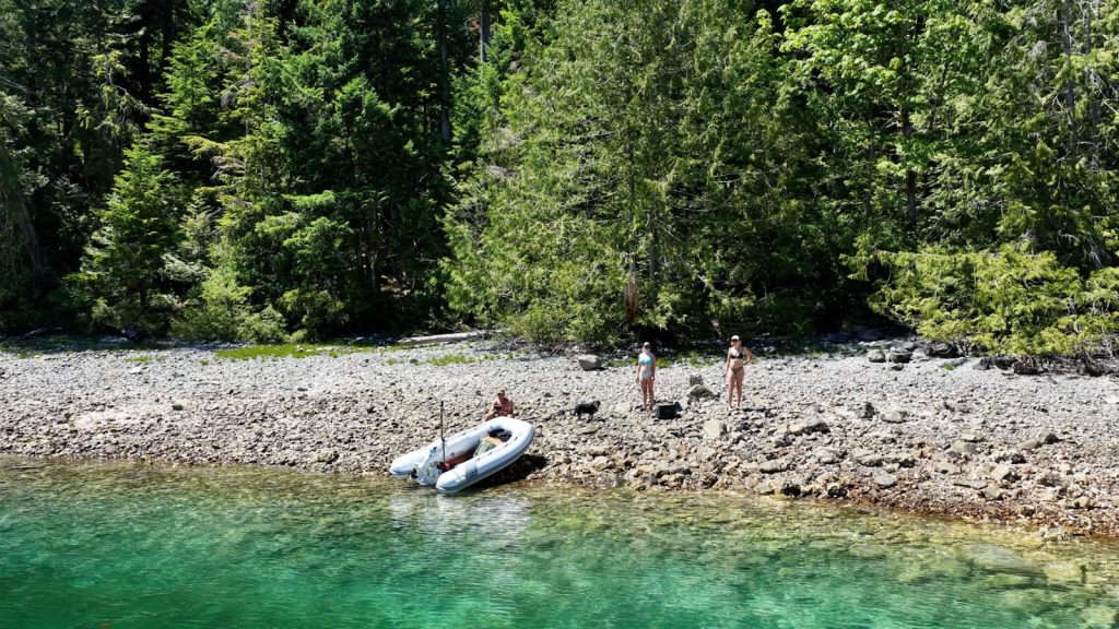
We’d also timed it at low tide, which opened up the back of the sound enough to walk out to the ruins of an old shipwreck.
Then we got to the part everyone comes for: the water.
It was sitting around 75°F — about 24°C.
That’s saltwater. In BC.
The rest of the afternoon looked like this:
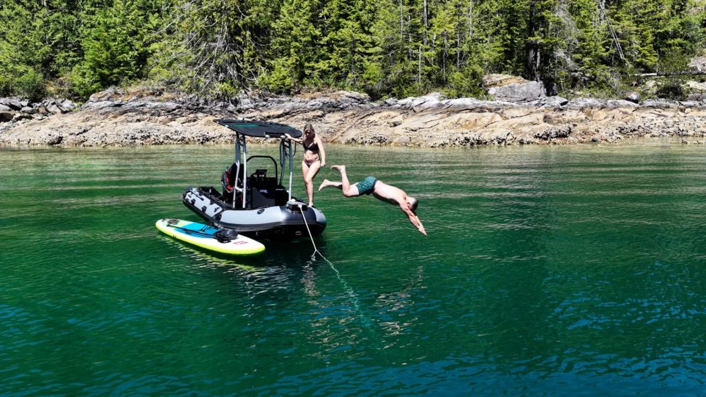
- Swimming (and diving off the RIB 470)
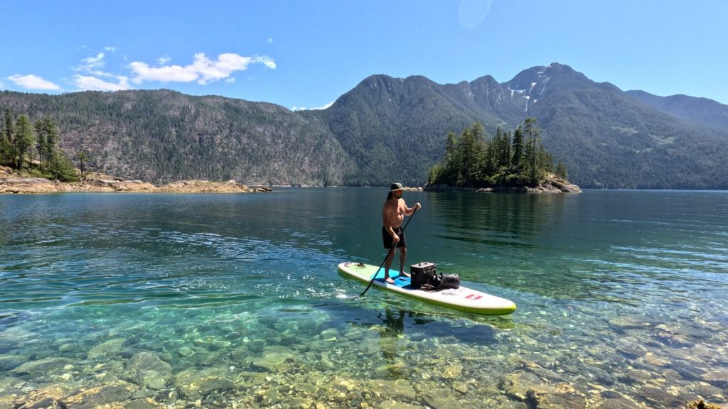
- Paddleboarding over water so clear you could watch the bottom drop away
- Anchoring out and running shore lines
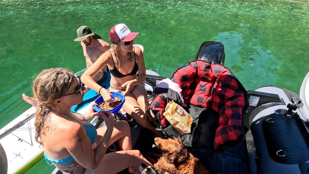
- A big bowl of bean dip passed around the boat
- Absolutely nothing on the schedule
Why Pendrell Sound Is So Warm
Pendrell Sound cuts deep into East Redonda Island, branching off Waddington Channel. Cruising guides have long called it the warmest saltwater north of Mexico, and summer water temperatures there reliably sit above 20°C (68°F).
The reason comes down to shape. The sound is long, sheltered and doesn’t get much mixing from the tides, so the surface layer warms up and stays warm.
Government scientists actually studied this back in 1974 and found that most of the heating came from warm water moving in and building up, rather than the sun alone.
That warmth is also why you’ll see oyster rafts in there. Pacific oysters need warm water to spawn, and Pendrell is one of the few places on this coast that reliably gets warm enough.
For years, BC’s oyster farmers depended almost entirely on seed collected from Pendrell and nearby Hotham Sound, and federal fisheries scientists ran yearly spawning forecasts out of the sound so growers knew when to put their collectors in the water.
If you’ve eaten a BC oyster, there’s a decent chance its family tree runs through Pendrell.
The 3 O’Clock Winds
Around the time we started packing up, the afternoon wind showed up right on cue.
The ride back was a little choppy — nothing the boats couldn’t handle, but it’s a good reminder. In Desolation Sound in summer, plan your longer runs for the morning and aim to be heading home before mid-afternoon.
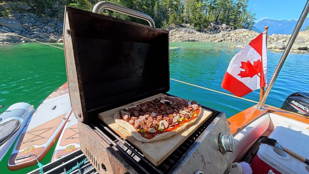
Deer Pepperoni Pizza on the Water
Back on the mothership, dinner was homemade sourdough-crust pizza on a pizza stone in the barbecue, topped with pepperoni we made ourselves from a deer we harvested.
Hard to beat a meal where you know the story behind every ingredient.
Melanie Cove: Black Lake, Old Iron and a Rope Swing
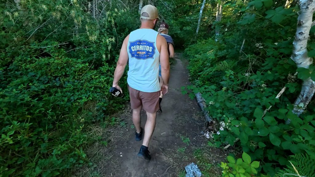
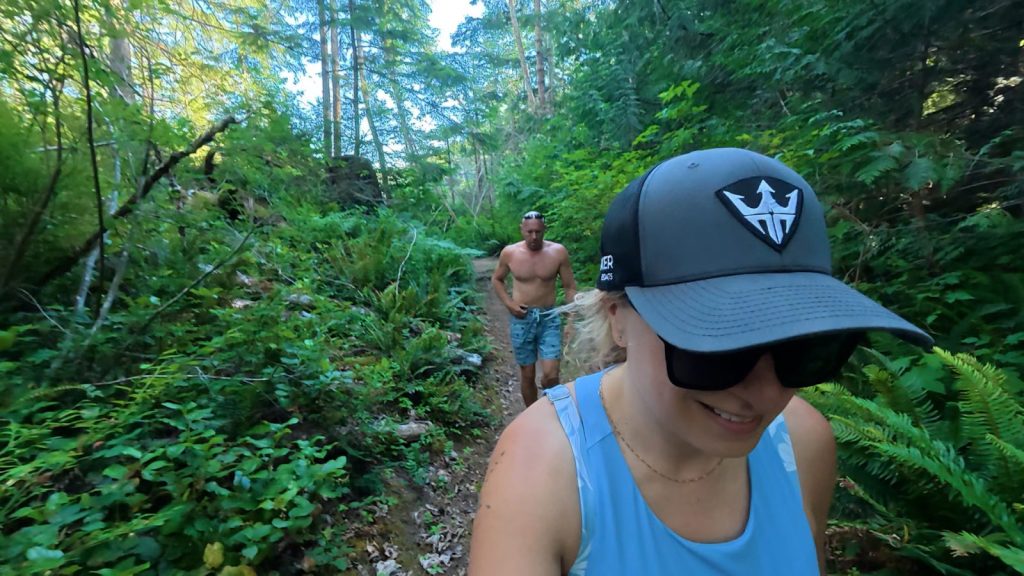
While we were anchored in Melanie Cove, we also hiked to Black Lake on the trail from the cove.
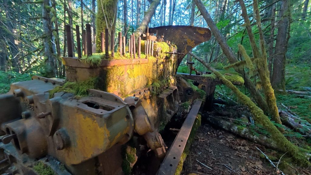
The trail starts near an old log dump, and that logging history is still out there in the bush. We found old, moss-covered logging machinery rusting away among the trees, along with two trees that had grown together into one.
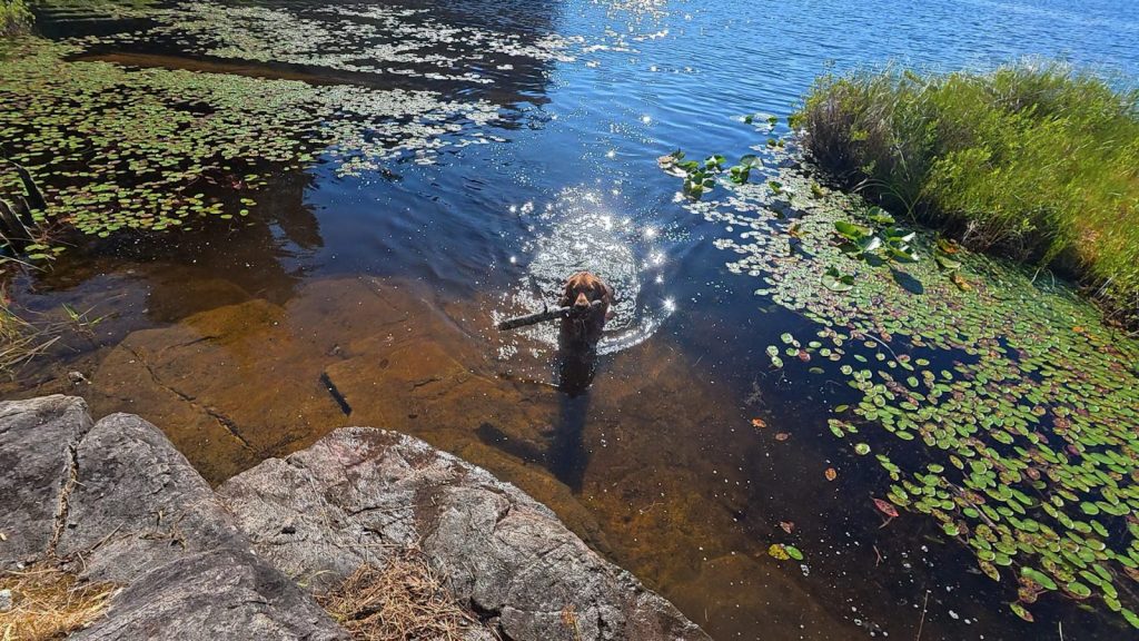
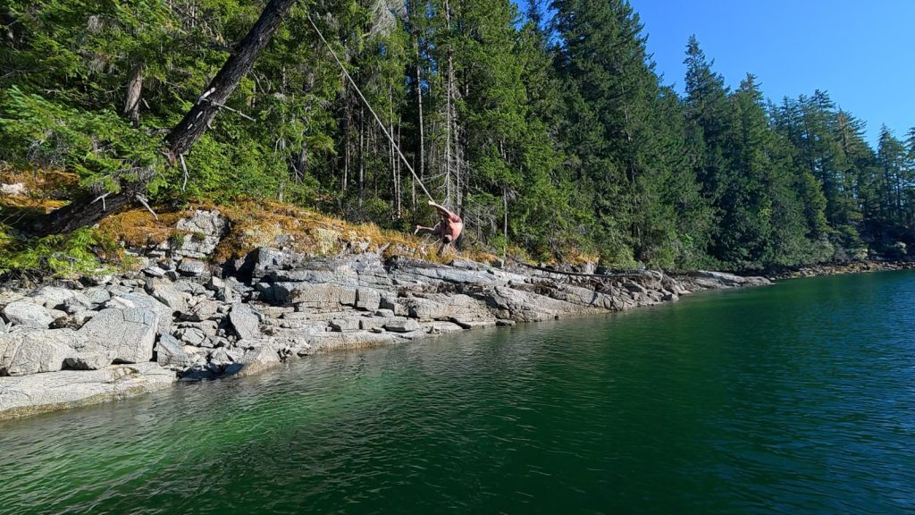
The dogs spent most of the hike fetching sticks out of the lily pads. And back at the cove, there’s a rope swing on the rocky shoreline that we definitely put to use.
Moving to Grace Harbour
The next morning we pulled anchor and moved the mothership closer to Lund, dropping the hook in Grace Harbour.
The inner harbour is completely protected from wind and sea, which makes it one of the most popular anchorages in Desolation Sound Marine Park — and for good reason.
It’s also one of the most historically significant. Grace Harbour is a traditional Tla’amin village site. Its name in the Tla’amin language translates roughly to “camp overnight,” and it was once a major gathering place where winter ceremonies brought together the Tla’amin, Klahoose and Homalco peoples, who were one people before colonial band divisions split them apart.
Archaeologists have found evidence of use here going back about 8,000 years, including shell middens, intertidal stone features and culturally modified trees. Local historian Heather Harbord writes of longhouses here as long as 200 feet.
Grant Lawrence Country: Malaspina and Theodosia Inlets
This was the part of the trip I’d been looking forward to.
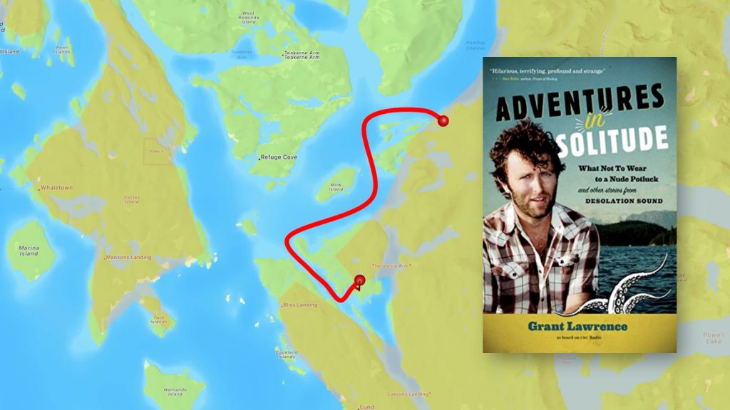
If you haven’t read Adventures in Solitude: What Not to Wear to a Nude Potluck and Other Stories from Desolation Sound, it’s CBC personality Grant Lawrence’s account of growing up on a piece of land his dad bought next to the park in the 1970s.
It’s full of characters — a gun-toting cougar lady, leftover hippies, Russell the Hermit — and it’s laugh-out-loud funny. It won the BC Book Prize’s Bill Duthie Booksellers’ Choice Award, and he’s since followed it up with Return to Solitude.
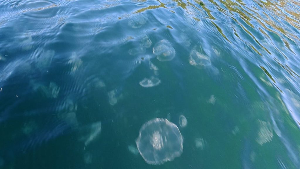
We took the Strykers and went exploring through Malaspina Inlet and up into Theodosia Inlet. Along the way we found lion’s mane jellyfish, oyster farms tucked into the bays, and old cabins slowly being reclaimed by the forest.
A Few Fun Facts About This Area
- Desolation Sound got its name from a bad mood. Captain George Vancouver spent part of the summer of 1792 here and found the place gloomy and forlorn — he couldn’t even catch a fish. He named it accordingly. Hard to imagine looking at it now.
- Malaspina Inlet is named after a Spanish expedition leader. It was named in 1792 by Spanish explorers Dionisio Alcalá Galiano and Cayetano Valdés after their former commander, Alessandro Malaspina. Galiano and Valdés went on to become the first Europeans to circumnavigate Vancouver Island. Galiano was later killed by a cannonball at the Battle of Trafalgar in 1805.
- Theodosia was once a huge salmon river. Before most of its flow was diverted in the 1950s to power a pulp mill, the Theodosia River is thought to have seen runs as big as 100,000 pink and 50,000 chum salmon. Tla’amin Nation has been leading restoration work on the river, and in August 2025, 63 log structures were placed into it by helicopter to rebuild fish habitat.
- Lion’s mane jellyfish are the biggest jellyfish in the world. Their tentacles can stretch over 30 metres — the record is over 36 metres, longer than a blue whale. They have a painful sting, and tentacles can still sting for hours after washing up, so look but don’t touch.
Saying Goodbye
Tomorrow we say goodbye to Cody and Claire as we start making our way home — but we’ve got one more stop before this trip is over.
Stay tuned.
If You Go
- Pendrell Sound: Stern-tie spots are limited. A tender or inflatable day trip from a nearby anchorage takes the stress out of it.
- Afternoon winds: Do your longer runs in the morning and plan to be heading back before mid-afternoon.
- No-discharge zone: Anchorages in Desolation Sound Marine Park are no-discharge — use holding tanks or shore facilities.
- Jellyfish: Lion’s mane are common in summer. Give them space, in the water and on the beach.
- Respect the territory: This is the shared traditional territory of the Tla’amin, Klahoose and Homalco Nations, and places like Grace Harbour are still used for food gathering and traditional medicines.
Catch Up on the Whole Trip
New here? Here’s every long-form episode from this trip so far, in order.


Leave a Reply